During our visit to my home, we got on the water for a few hours around Isle Aux Morts, about 8kms up the coast from Burnt Islands. Even though I grew up very near here, I had never been around here by boat, so I was really looking forward to finally exploring all the nooks and crannies in the area.
Isle Aux Morts translates to "Island of the Dead" and was so named because of all the shipwrecks that have happened over the years around here. The
Harvey Trail, in the community describes some of these wrecks, and if you click the link above, you can see what it can look like around here on a bad day. Today we could hear the constant roar of the swells breaking on the rocks and sunkers outside, but it was flat calm inside.

The coastline around Isle Aux Morts. Islands, rocks and sunkers everywhere

There aren't too many great spots on launch around here, although there is a government wharf with a concrete slipway on the other side of the community. We chose the old slipway, where everyone hauls up their boats, and if I'm not mistaken, its the only place that has a TravelLift (for lifting boats out of the water) on this coast. Right after I took the above pic I manged to drive a rusty nail through my foot. Nice way to start the trip. Luckily for me, I had a tetanus shot less than a year ago. I was just glad I didn't have my drysuit on at that point.

So with a new hole in my foot we headed out past the old fish plant. I remember the lovely smell of fish meal that used to come from that place when I was a kid. What a stink!

Heading out through the eastern passage. I didn't take long before we could feel the swells from outside.

Going around Potato Island. We were able to catch a few waves along the way, where Potato Island was closest to Little White Island. We could have stayed there surfing all day, but we wanted to explore, so off we went.

Potato Island to the left, Little White Island to the right

Facing towards Margaree

Poking about all the small islands

One of the very few beaches between Rose Blanche and Port Aux Basques. I didn't even know this one existed. If you look VERY VERY closely to the right above Angie's shoulder, the Caribou is passing by, arriving from Nova Scotia. Even from that far off, we could still hear its engines.

It looked like a great place to camp, but I don't think there's much beach left at high tide. We stopped here for a short break and a lunch.

There is a certain smell attached to this type of landscape in the summer time. I can't put my finger on it, but I wish I could bottle it up and take it back to the east coast with me.

A small channel between two islands

The water was absolutely still

Reflections

Where Isle Aux Morts River meets the sea. Someone has a really nice cabin built in the perfect location. I'm jealous.

Me with slipway and TravelLift in the background.

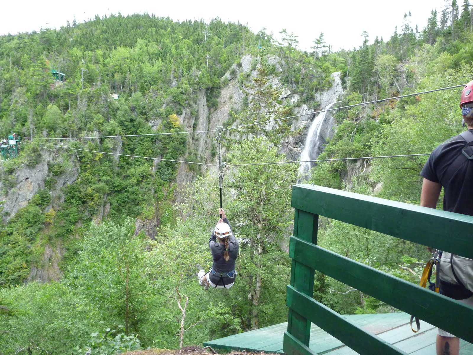
Another short but very nice paddle.

 The starting point is the lookout in the Park.
  This is what the trail looked like most of the way. Thanks Igor
 This culvert used to below to the road not far from here. Igor completely washed away the road in this area, but has since been repaired.
  The first beach we encountered. Very nice.
 Ah, the wonderful signs of nature. About 20 car wrecks strewn in a row near the pole line. Hurray for mankind.
 A cow moose checking us out. She was lying on the middle of the trail, having a snack. She didn't pay much attention to us, so we watched for 5 minutes or so, then made a detour around here. Below is a short video of the encounter:
 A picture of a picture being taken
 To get down into one of the coves, someone put a rope to help you out. Nice touch.
 A view from on top of the cliffs
 What a cool spot
 Nice secluded beach
 Pretty impressive sea stack
 And to cap it off, a rainbow.
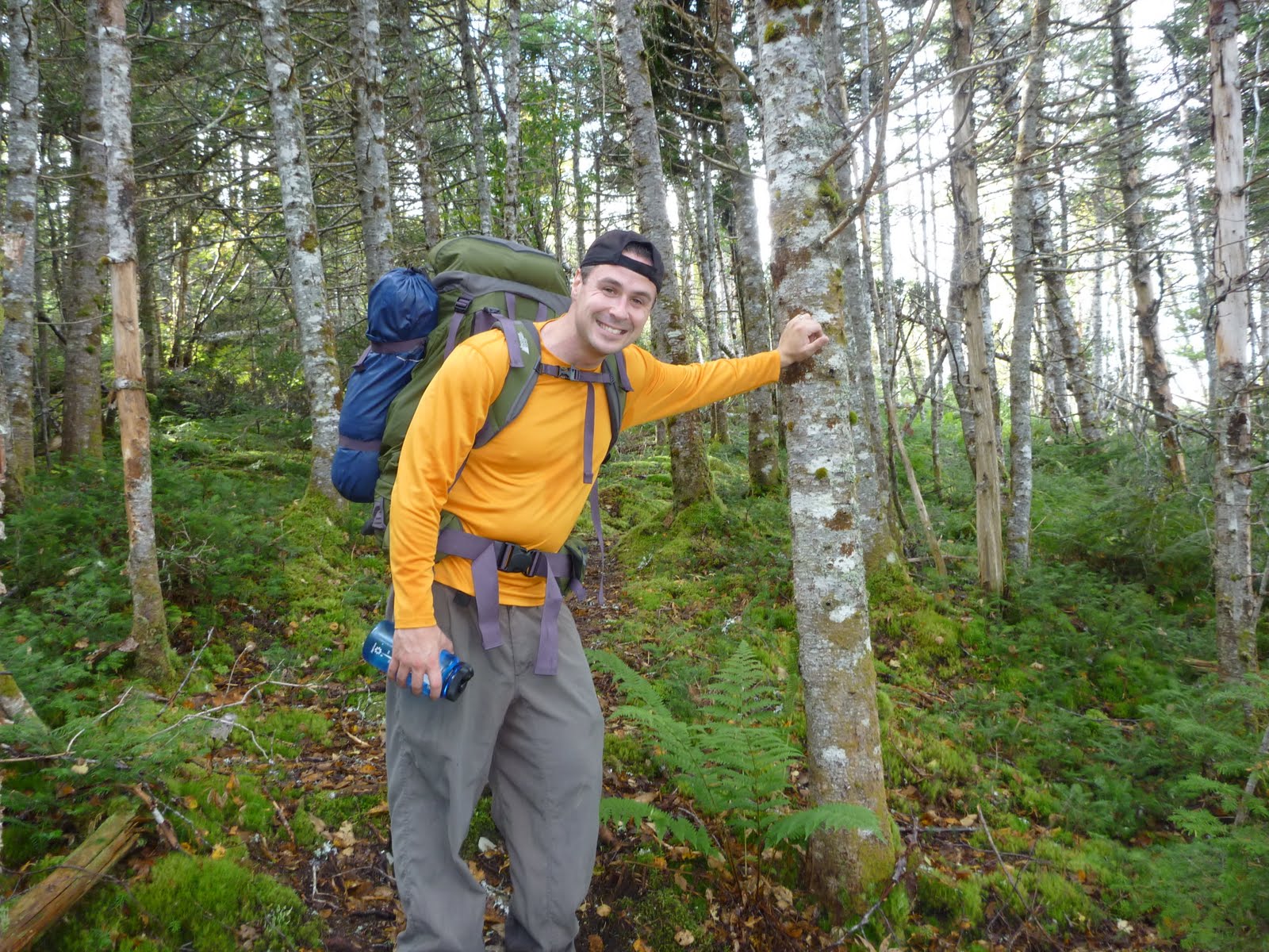


